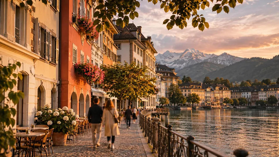
Lucerne.
Lucerne on foot: 13 places explained, 3 routes drawn on real streets, 3 districts and the essentials for getting around. Sources are cited on every page.
- 13
- places
- 3
- routes
- 3
- districts
The essentials
Numbers refer to the map of places


How we work
A guide to read while walking: every place has its story, every route follows real streets.
Where to stay
Recommended districts to stay within walking distance
- TribschenBooking.comHotels.com
- KriensBooking.comHotels.com
- LittauBooking.comHotels.com
Partner links: via.city may earn a commission, at no extra cost to you.
Where to start
Distances measured along the line; times are walking time only, without visits.
The Lucerne bridges
4 stops, from Lucerne Culture and Congress Centre to Spreuer Bridge.
1.5 km
21 min on footThe lion and the panorama
4 stops, from Spreuer Bridge to Kapellbrücke.
2.4 km
32 min on footFrom the lake to the station
3 stops, from Church of St. Leodegar to Lucerne railway station.
1.2 km
17 min on foot
Map of places


Off the map: 7. Lake Lucerne, 9. Pilatus, 10. Rigi
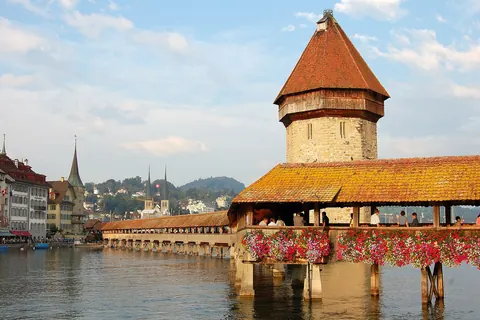
- 1KapellbrückeMonuments
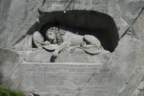
- 2Lion MonumentMonuments
- 3Jesuit ChurchChurches and chapels
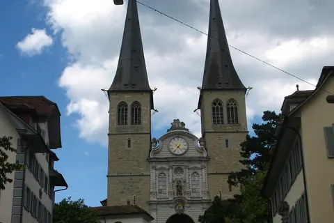
- 4Church of St. LeodegarChurches and chapels
- 5Spreuer BridgeMonuments
- 6Bourbaki PanoramaMuseums
- 7Lake LucerneViewpoints
- 8Swiss Museum of TransportMuseums
- 9PilatusViewpoints
- 10RigiViewpoints
- 11Kunstmuseum LuzernMuseums
- 12Lucerne Culture and Congress CentreShows
- 13Lucerne railway stationMonuments
Districts
Tribschen
Tribschen is a district of the city of Lucerne, in the Canton of Lucerne in central Switzerland.
Kriens
Kriens is a town and a municipality in the district of Lucerne in the canton of Lucerne in Switzerland.
Littau
Littau is a former municipality, and now part of the city of Lucerne, in the district of Lucerne in the canton of Lucerne in Switzerland.
App in preparation
The Lucerne guide has no app yet. Leave your address: a single message on the day it comes out.